Summary: This essay explores the socio-economic dimensions of the territorial dispute over four small islands; Panjang, Lipan, Mangkir Gadang, and Mangkir Ketek. located between Aceh and North Sumatra. What began as a cartographic error escalated into a symbolically charged conflict that touched on historical justice, regional identity, and economic survival. Drawing from a chronological narrative, this article examines how the administrative ambiguity affected local communities, especially Acehnese fishermen whose livelihoods depend on access to these waters. The dispute also revealed vulnerabilities in Indonesia’s decentralized governance and emphasized the importance of participatory decision-making and historical documentation. Although the islands have since been legally returned to Aceh, the episode underscores broader national lessons about regional autonomy, natural resource governance, and the delicate balance between technical governance and social legitimacy. The peaceful resolution; grounded in democratic negotiation rather than resistance, serves as a hopeful precedent for future inter-provincial conflicts.
Introduction
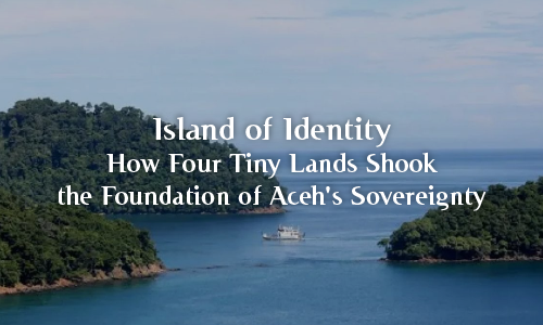
The long-standing territorial dispute over four small islands; Panjang, Lipan, Mangkir Gadang, and Mangkir Ketek, situated near the maritime border between Aceh and North Sumatra, recently resurfaced as a matter of public and political concern. While modest in size, these islands hold strategic value, not only because of their location but also due to their economic significance to local fishing communities and their potential natural resources.
Historical Context and Trigger of the Dispute
Since Aceh’s administrative separation from North Sumatra in the 1950s, the four islands have been recognized as part of Aceh. However, a mapping error in 2008 led the Ministry of Home Affairs to list the islands under North Sumatra’s jurisdiction. This oversight set the stage for a prolonged disagreement between the two provinces. Between 2017 and 2022, both sides attempted to resolve the matter through surveys and the exchange of legal documents, yet no consensus was reached. Then, in April 2025, the Ministry officially designated the islands as part of North Sumatra, triggering public outrage in Aceh.
Things took a dramatic turn in June 2025 when new spatial data and historical documents came to light, prompting…